
My best guess is it’s a busy road so it’s dangerous and not really meant for bicycle and walking. I’ve done 13 miles yesterday to get a comic book on a bike and this right here is the distance between my house and a friend’s house I told I can come on bike because what I just did gave me a feeling I could do it but my ass hurts so not right now. But yeah I want to see how this would play out. Before I would walk but I took a bike to a comic book store because it would’ve closed if I walk and I ended up getting there in time. Took longer than expected something that should’ve been an hour probably took 2 or 3 hours. So yeah I can do half of that for sure.
A lot of the bike routes are mapped using car data. If you are biking on a one way street and have to turn around, maps will route you around the block (uphill) like a car, even if there’s a sidewalk you coukd bike or walk down instead.
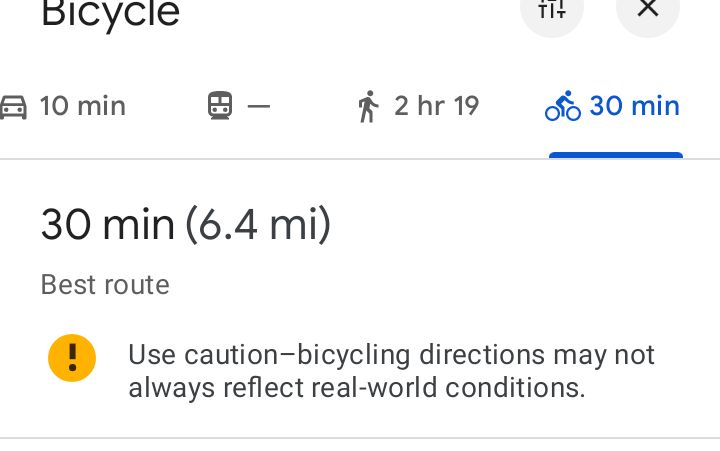
It’s not super great for biking data, but it works. It tends to miss protected bike lanes, though.
In Australia Google maps has issues with routing cyclists on 80km busy truck transit roads that have no bike lanes, footpaths or shoulders. You’ll regularly get stuck behind lost uber eats cyclists whose map took them through a motor vehicle only underpass.
The other day google maps decided to reroute me from a quiet, wide street with no bike lane that was otherwise perfectly safe, and tried to send me through a nightsoil alley, down a heritage stock run that was paved with cobblestones and crossed over a storm drain 4 times in a zig zag.
Yeah, “safer” because there’s no cars I guess, but not suitable for bikes at all.
I don’t think it has trouble with bike routes.